
Photographing the same subject over time
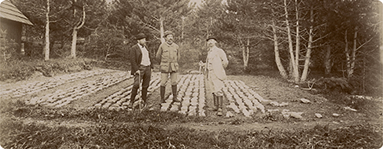
The mountain land restoration services (RTM in french) are responsible for using photography to monitor and measure the success or failure of their reforestation programmes, documented with pairs of photos taken seven, ten or fifteen years apart.
From one year to another
This was fully in line with the existing policy, as the following excerpt attests:
" Whenever it may be of interest to take the same view at long intervals of time, care will be taken to fix the original viewpoint on the ground, so that subsequent reproductions of the same objects may be comparable with each other. To this end, a marker will be affixed on which the number and year of the corresponding view will be inscribed and, in the event that this visible sign disappears, the location will be attached topographically to fixed points (bell towers, corners of houses, peaks, dams and the like)." *
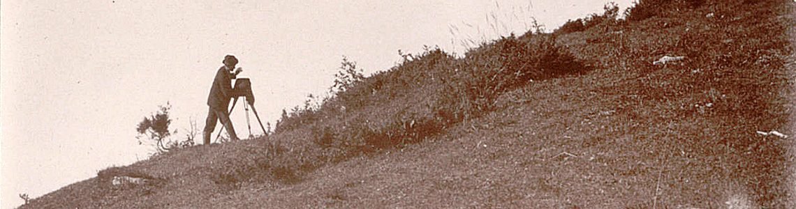
The RTM agents commissioned for these missions were trained and equipped with photographic equipment.
They returned periodically to the same locations to take new photographs under the same conditions; in order to memorise this information and facilitate these photographic reproductions, some photographs included annotations, sometimes supplemented by sketches of the view cone.
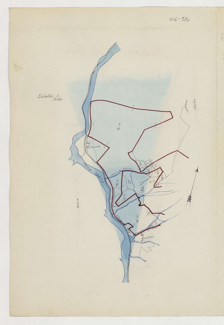
1888 – View cone, river Tinée, for the photograph of a landslide on the left bank.
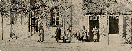
The photos presented here were taken in the Basses-Alpes (now Alpes-de-Haute-Provence) in the municipality of Seyne les Alpes.
They allow measuring (in the literal sense of the word) the growth of this pine tree, planted in September 1875 by the Director General of Forests, Henri Faré, and several photos were taken at different intervals (July 4, 1892 and September 16, 1905).
|
Left image: View in 1892 of the Cembro pine planted on September 30, 1875 by Mr. Faré, general director of forests. |
Right image: View in 1905 of the same Cembro pine. |
| Left image: View in 1892 of the Faré Cembro pine, in the direction of Faut. | Right image: View in 1905 of the Faré Cembro pine, in the direction of Faut. |
These photos were also taken in the Basses-Alpes (now Alpes-de-Haute-Provence) in the municipality of Seyne les Alpes : Lalavard, Pic de Bernardez, photos taken 9 years apart.
| Left image: View in 1896 of Lavalard, Trimmings executed in 1895. | Right image: View in 1905 of Lavalard, Trimmings executed in 1895. |
Source
Demontzey, P. (1889). La restauration des terrains en montagne au Pavillon des forêts (1‑1). Impr. nouvelle.
Text written by Pascale Hénaut (INRAE-DipSO).
How to cite : Agate Focus: Photographing the same subject over time, Pascale Hénaut (INRAE-DipSO), march 2023, https://agate.inrae.fr/agate/en/content/highlights