Mountain land restoration - Alpes-de-Haute-Provence

The map provides access to the geolocated pictures of this collection, with a navigation by municipality. For each municipality, you will find all the photographs taken in that particular area.

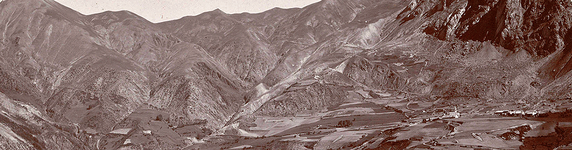
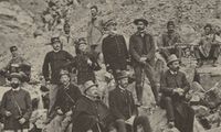
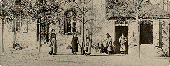
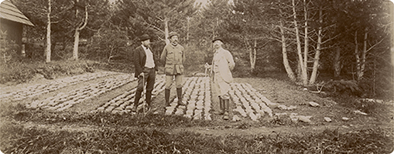
It is a selection of photographs taken in the department that is presented here. The Archives Nationales hold "merely" 1,805 photographs from a much larger collection held by the departmental archives of the Alpes-de-Haute-Provence (formerly the Basses-Alpes department).

The collection is organised by forest conservation area around a river, a stream or main torrent, defined by the forest services, and then by series (equivalent to a municipality, a forest or a secondary branch of the main torrent) in alphabetical order within an area.

The title of the photograph generally contains a full description of the view.

On the same subject

  • Repaired Dam number 2. The artificial silting is almost complete. The Decauville track is laid on the crest. Parlier 1931
    Natural Risks

    Dams and weirs, indirect protection through civil engineering

    Since the 1860s, government departments have been working to secure natural and human habitats threatened by erosion and mountain torrents. Civil engineering techniques are deployed to stabilise torrent beds and consolidate the banks.


  • Avalanche in the Barral valley; photo by Plagnat; 30 January 1938.
    Natural Risks

    Of avalanches and people: tips for adapting your living environment

    In the high mountains, the snow can last for months and the risk of avalanches is permanent. Despite this, mountain dwellers have always adapted to this environment. Grouped together in communities and leading a self-sufficient life, they have used their ingenuity to take advantage of the constraints and subtleties of the terrain by relying on existing natural protections.