History of flooding in France since the 6th century
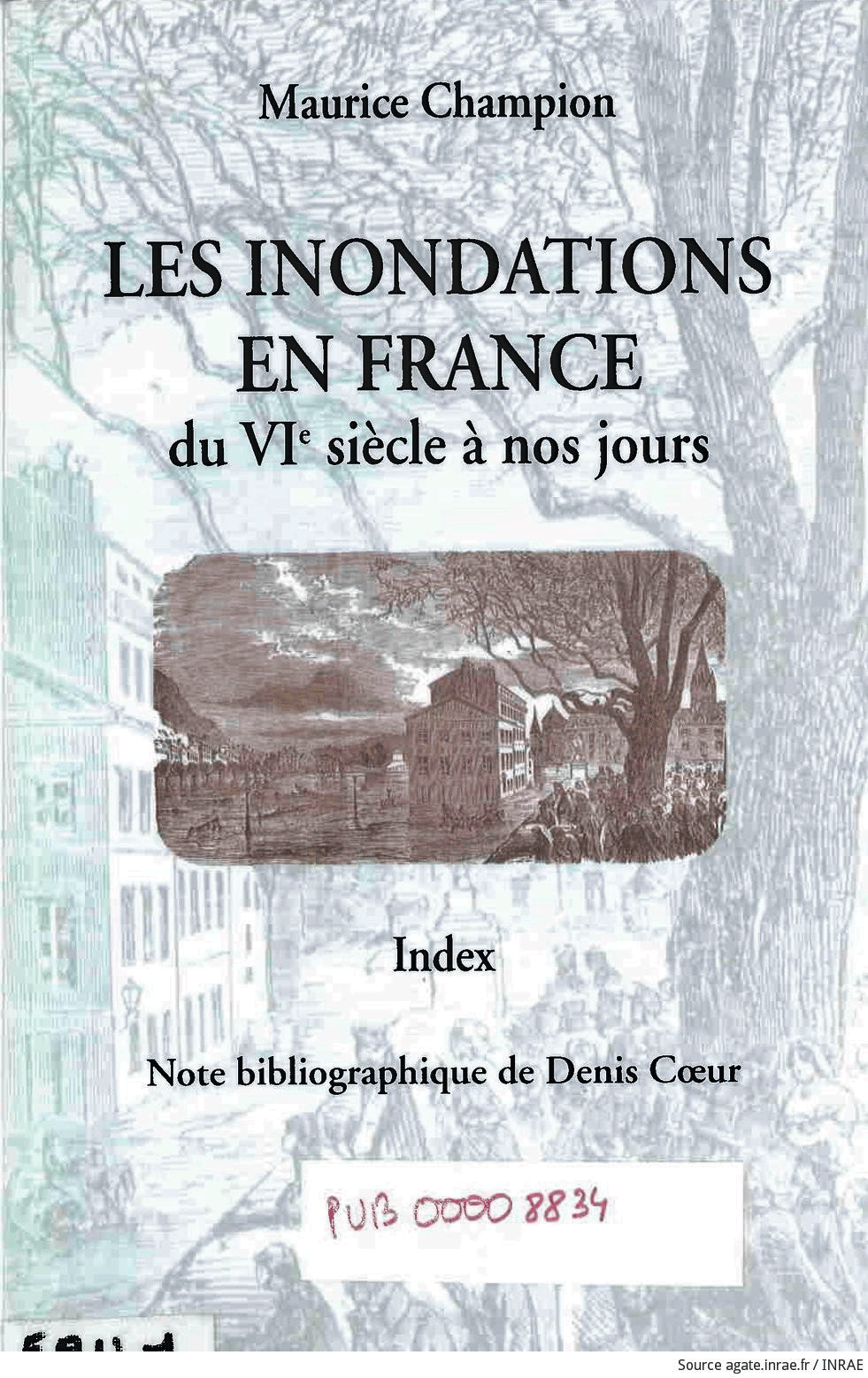
As soon as it came out in 1858, Maurice Champion's major work "Les inondations en France du VIe siècle à nos jours" (Floods in France from the 6th century to the present day) caught the interest of engineers and administrators. For the first time, it provided a detailed historical overview of flooding in the five major French river basins.

France is exposed to a wide range of weather hazards, and flooding is the leading natural hazard in terms of frequency and the extent of the damage it causes. Drawing lessons from past events is a matter of course.
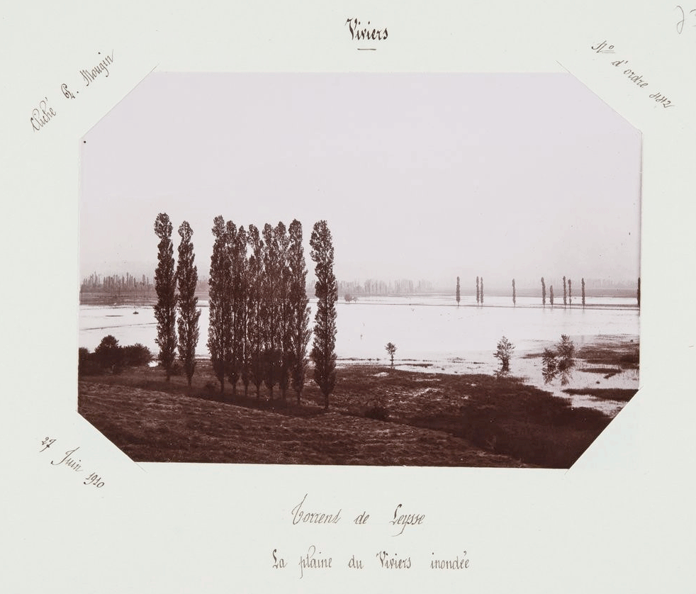
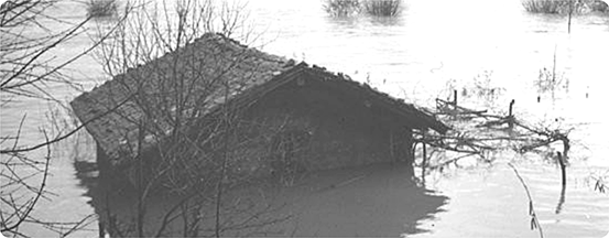
The flooded plain of Viviers (Leysse torrent, Savoie department, 1910) photographed by Paul Mougin (1866-1939).
An inventory of "inondations remarquables en France” (remarkable floods in France), carried out in 2011 by Michel Lang (INRAE), has resulted in a collection bringing together information on nearly 175 events over a period of more than two hundred years, from 1770 to 2011
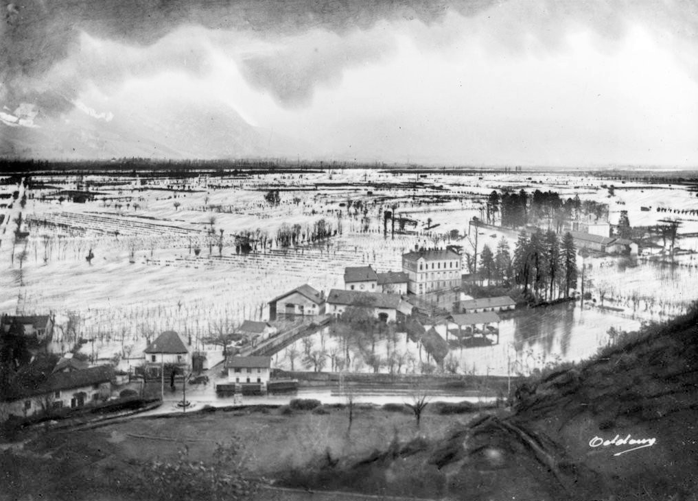
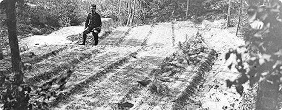
Flooding by the Isère river at Veurey in 1928.
This collection completes the previous national inventory (1858-1864) produced by Maurice Champion.
This major work, known as the "Champion", is considered to be the bible for all hydrologists, hydraulic engineers and other river managers.
The chronological presentation of events through the main text, the attachments in the first five volumes as well as the summary tables in volume 6, make for very clear reading.
In fact, it is a database before its time, and the work as a whole is much more to be consulted rather than just read. Which is exactly how the author intended it .
And nowadays at INRAE?
For many years now, scientists at INRAE have been carrying out research and expert appraisal work to gain a better understanding of flood-related phenomena and design tools and methods to guard against them.
Press report INRAE : Décryptage – Risque inondation, comprendre et prévenir, published on november 22, 2022.
Also on INRAE's website
- Habiter en zone inondable : quelle prise en compte du risque lors des choix résidentiels des ménages ?, published on february 21, 2023.
- Inondations : les outils INRAE de surveillance des crues, published on december 11, 2019.
- Risque inondation. La mémoire au service des politiques de gestion de demain, published on may 21, 2015.
Articles by INRAE's scientists published in The Conversation
- Prévisions, climat, gestion des risques… Les crues mortelles d’Allemagne et de Belgique en sept questions, published on july 18, 2021 by Vazken Andréassian et al.
- Une plongée pleine d’enseignement dans deux siècles d’inondations, published on 2 january, 2016 by Michel Lang.
- Comment la gestion des risques liés aux inondations a évolué en France, published on october 16, 2015 by Yann Eglin.
Books published by Quae
- Les inondations remarquables en France – Inventaire 2011 pour la directive Inondation, Michel Lang and Denis Coeur, 2014.
- Estimation de la crue centennale pour les plans de prévention des risques d'inondations, Michel Lang and Jacques Lavabre, 2007.
- Restaurer les milieux et prévenir les inondations grâce au génie végétal, Freddy Rey, 2018.
Older works freely accessible and consultable on Agate
- Information historique et ingénierie des risques naturels : l'Isère et le torrent du Manival, Michel Lang and al., 2003.
- Activités rurales et inondations : connaissances et bonnes pratiques, Yves Nédélec, 1999.
- L'influence humaine dans l'origine des crues : état de l'art et actes du colloque, Paris, Ministère de l'environnement, 18-19 novembre 1996, Étienne Leblois, 1999.
- Quelques techniques de lutte contre les inondations et coulées boueuses en zones péri-urbaines, Cemagref, 1994.
- Aspects socio-économiques de la gestion des risques naturels : actes du colloque, Paris, 1-3 octobre 1991, Michel Penel and Olivier Marco, 1992.
Text writen by Catherine Tailleux (INRAE-DipSO).
Thanks to Michel Lang, engineer-scientist in hydrology at INRAE, for his proofreading.
How to cite : Focus Agate: History of flooding in France since the 6th century, Catherine Tailleux (INRAE-DipSO), august 2023, https://agate.inrae.fr/agate/en/content/highlights


