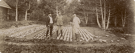
Mountain land restoration - Hautes Alpes
The map provides access to the geolocated pictures of this collection, with a navigation by municipality. For each municipality, you will find all the photographs taken in that particular area.

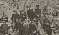
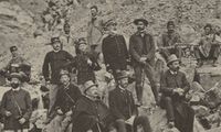
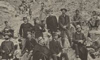
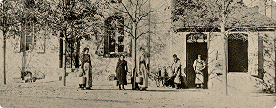
It is a selection of photographs taken in the department that is presented here. The Archives Nationales hold "merely" 1,187 photographs from a much larger collection held by the departmental archives of the Hautes-Alpes.
The collection is organised by forest conservation area around a river, a stream or main torrent, defined by the forest services, and then by series (equivalent to a municipality, a forest or a secondary branch of the main torrent) in alphabetical order within an area.
The title of the photograph generally contains a full description of the view.


